Today’s adventure in vertigo (or casadastraphobia or something….) involved a glacier–ice and rock. The persistent wind, blowing pretty steadily for a couple of days and nights now, put us off another try at the summit, so we opted to explore a little further along a trail we had hiked two years ago. This trail takes you up through alpine meadows, past a wonderful interpretive loop of Bristlecone Pines, and on up to a glacier–a good day’s hiking, at least for me. So, we ate our oatmeal, tossed back our coffee, and packed up the backpacks in preparation to hit the Bristlecone & Glacier Trail.
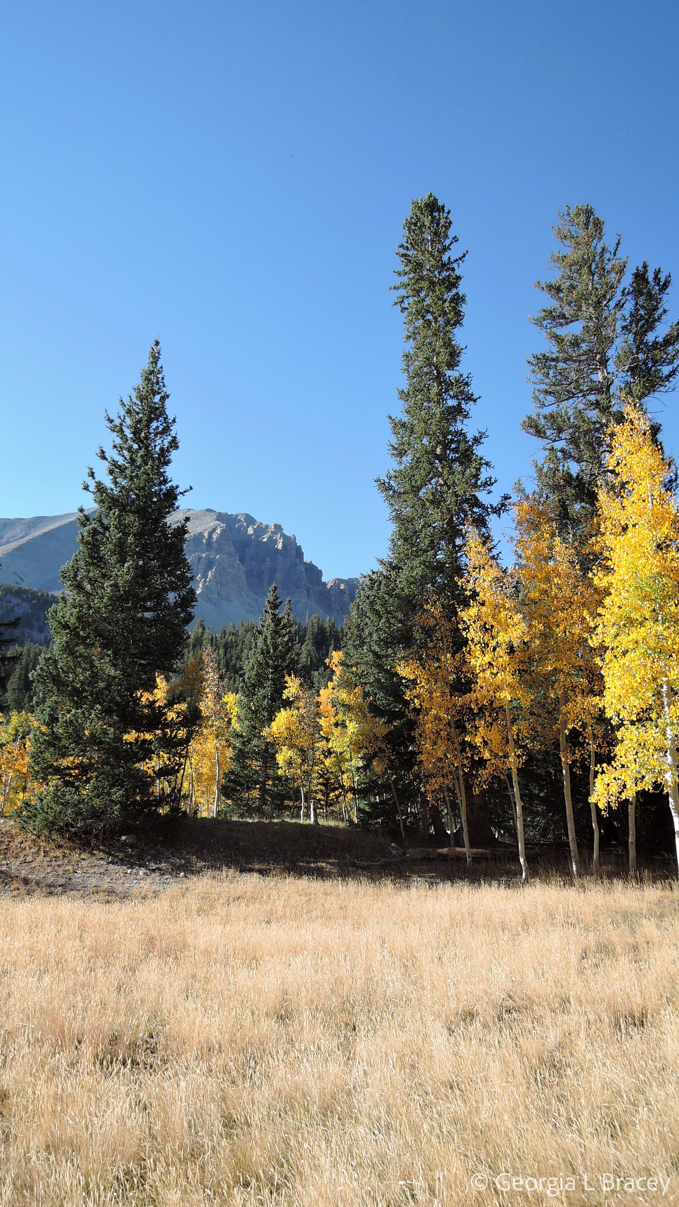
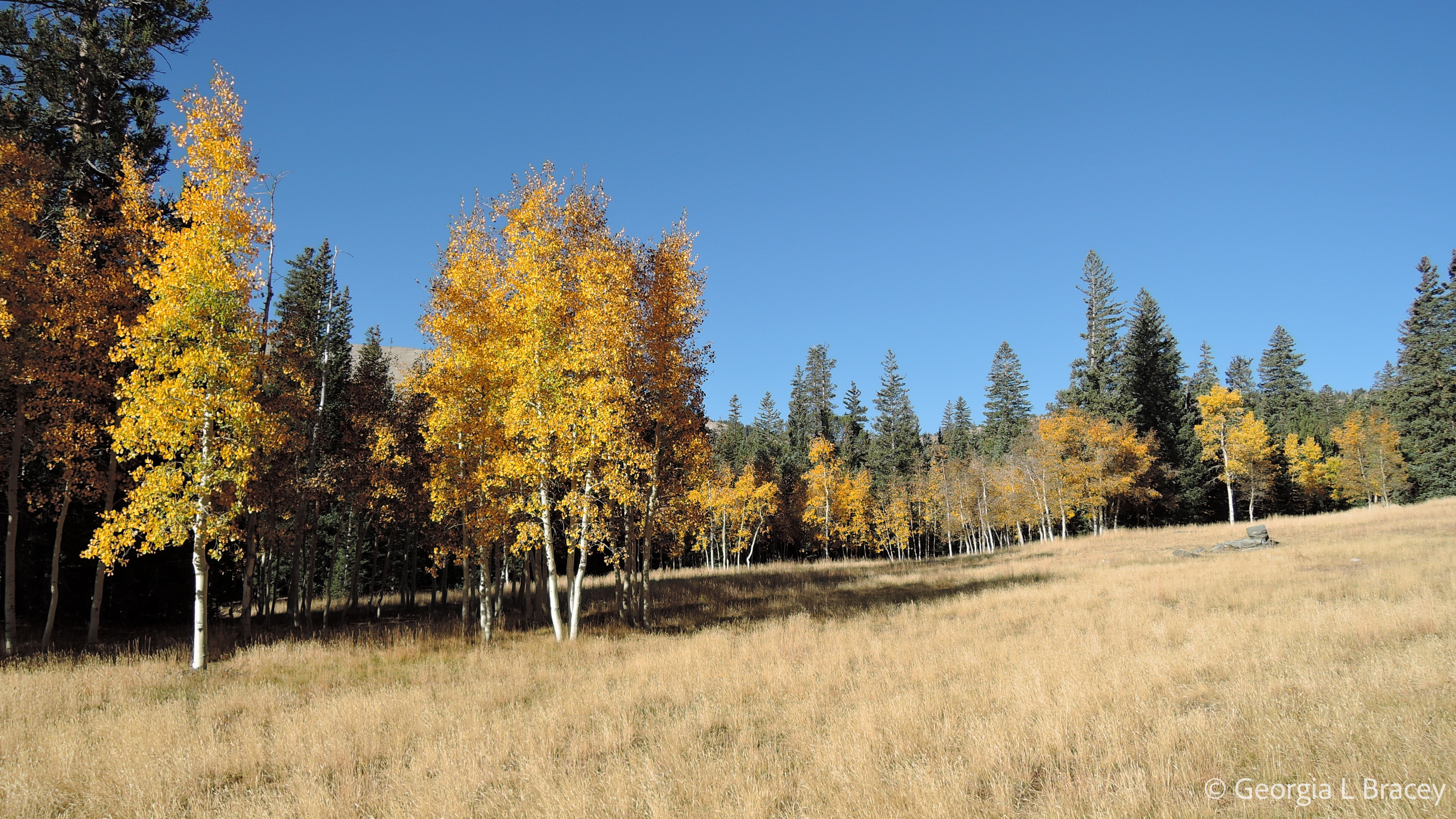
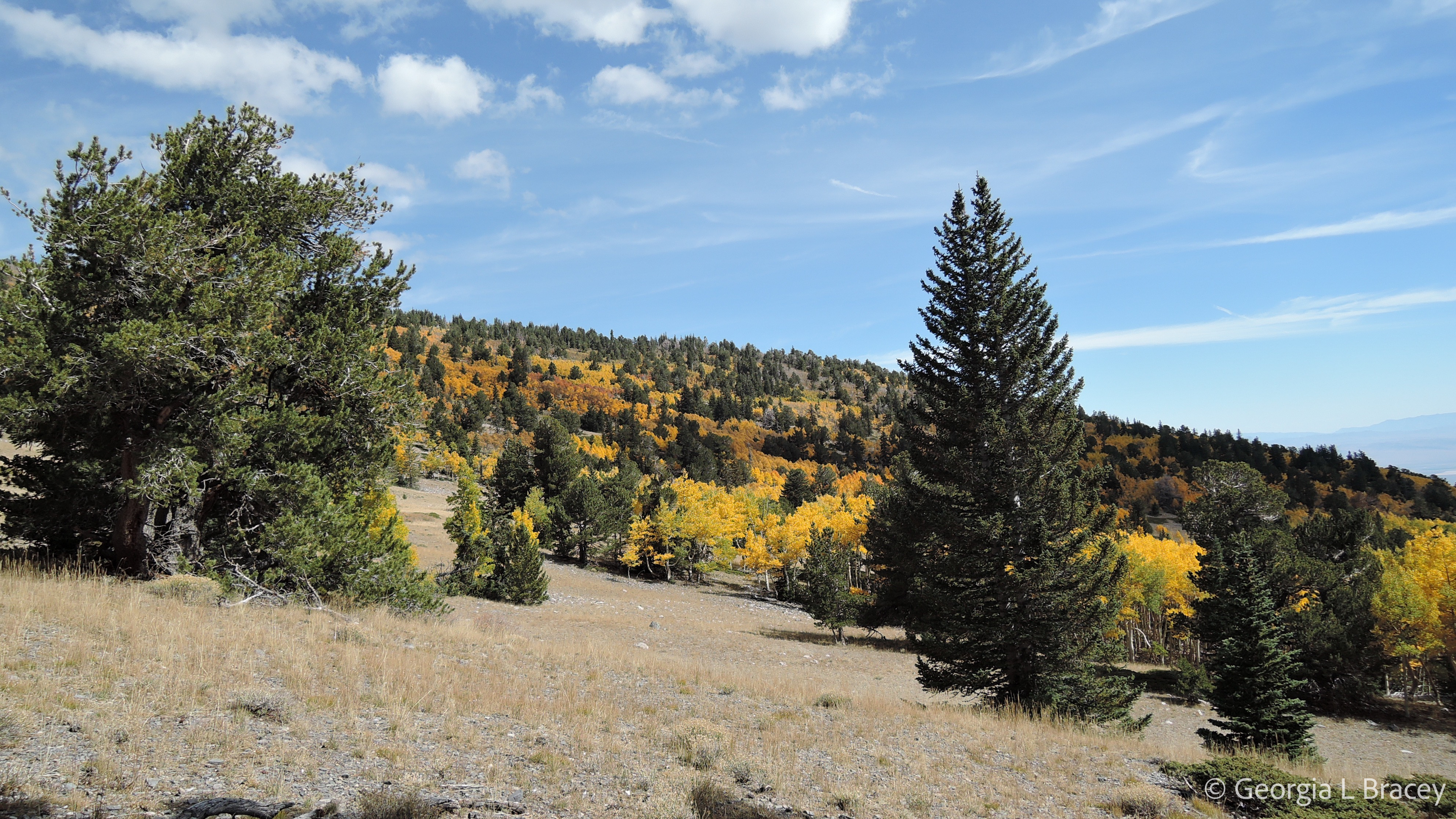
As we made our way to the trailhead, the aspen leaves continued to be amazing, both in their color and in their energetic animation. Joe walks on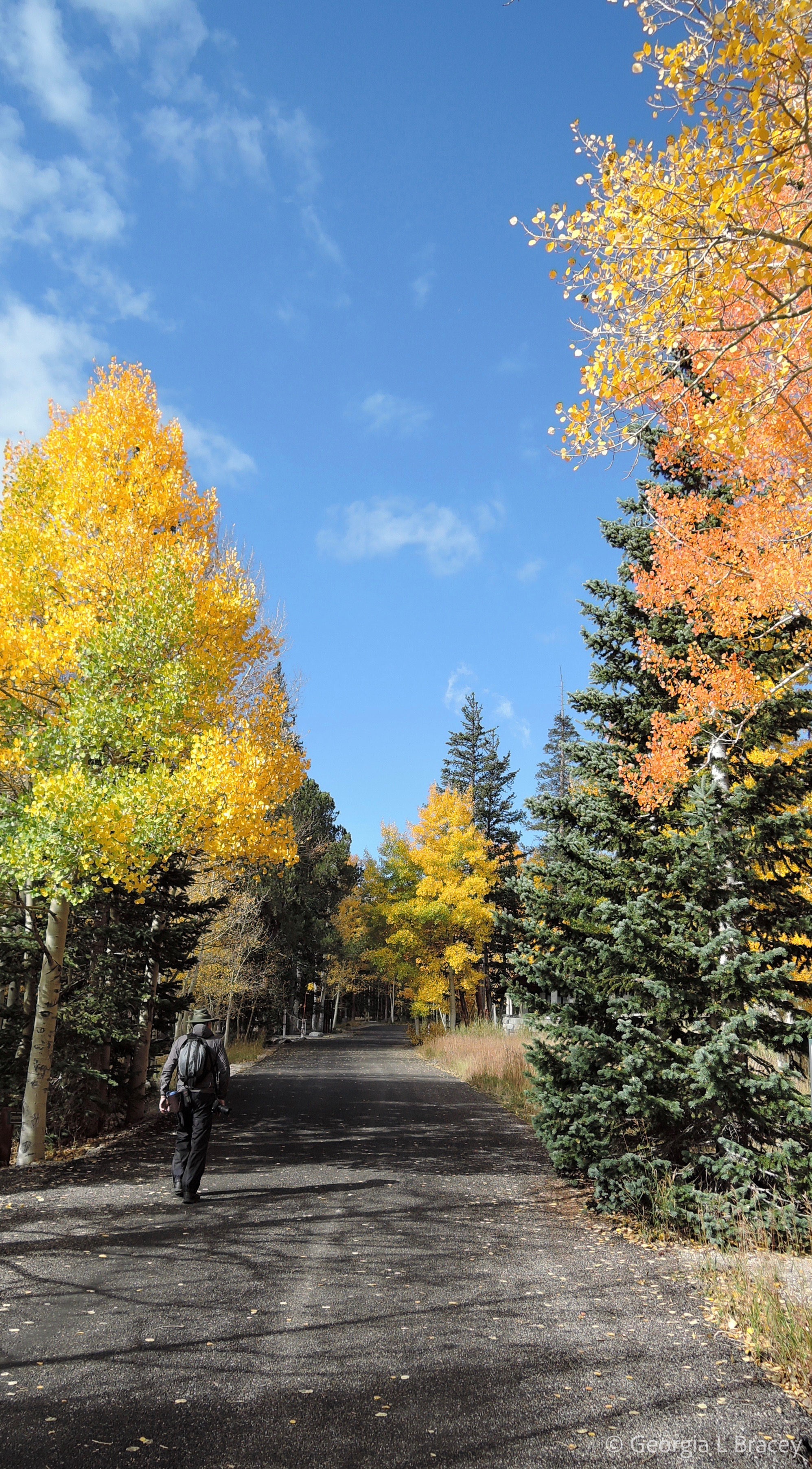
ahead while I snap a few pictures. The air is fresh and cool and fragrant; the sun is fiercely bright in an ultra-blue sky. A few wisps of cloud soften the scene. As I look up the mountain, I think, “It’s almost too real.” 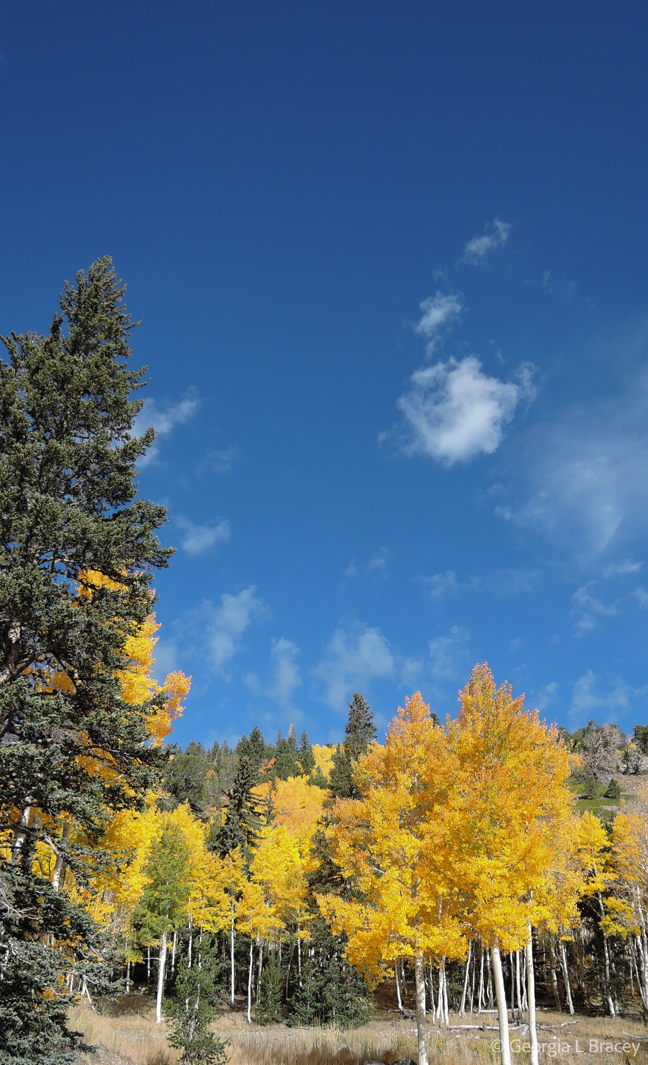
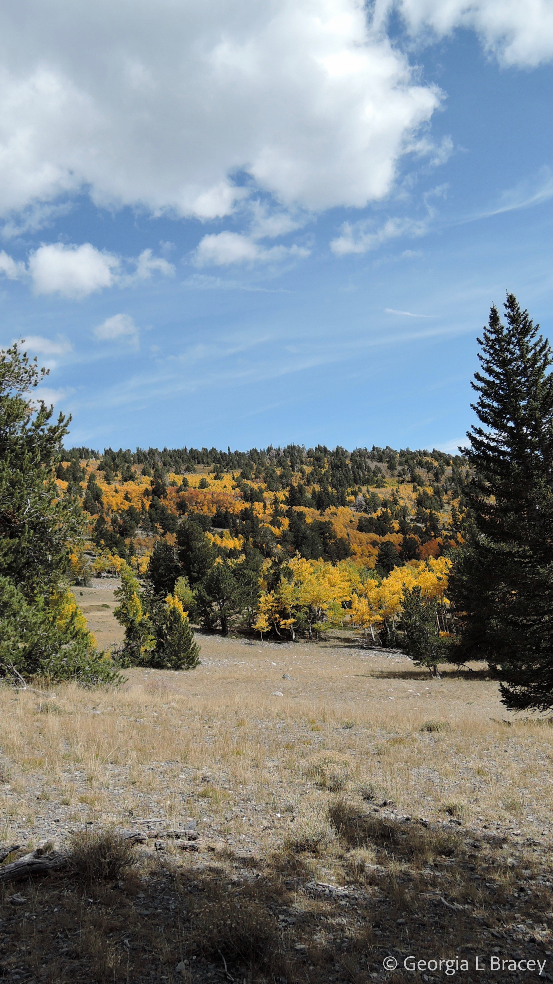
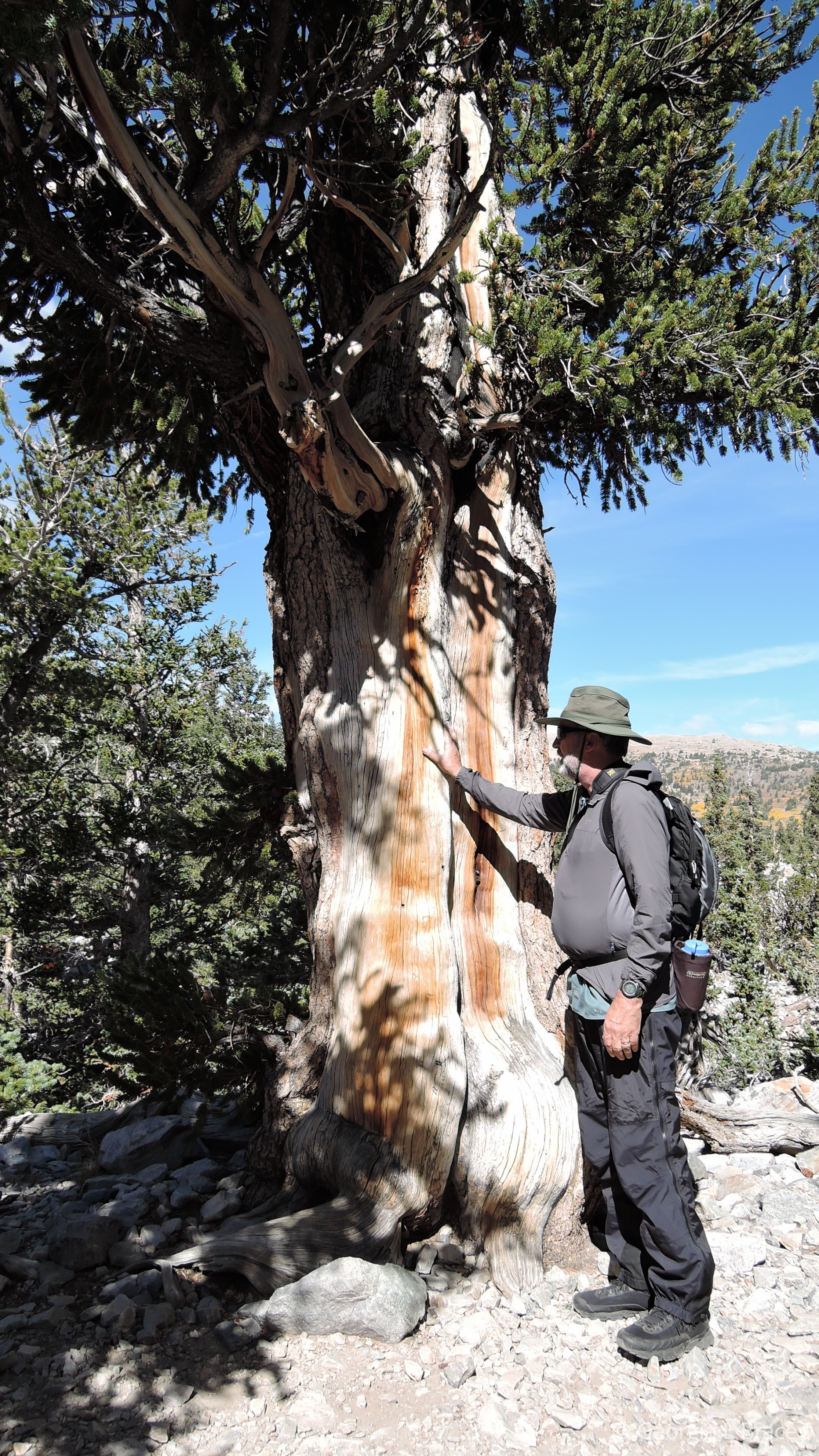
Then, it’s off we go, up the trail. First stop is the Bristlecone Pines. These amazing trees are among the oldest living things on the planet–some as many as 5000 years old! They have seen it all. They’re true survivors. These trees are slow-growing and have a tough, resiny wood. They can lose almost 90% of their outer bark and keep going. Just amazing. Joe and I had to spend a moment communing with these ancient entities, gazing up at them in awe and reverence. 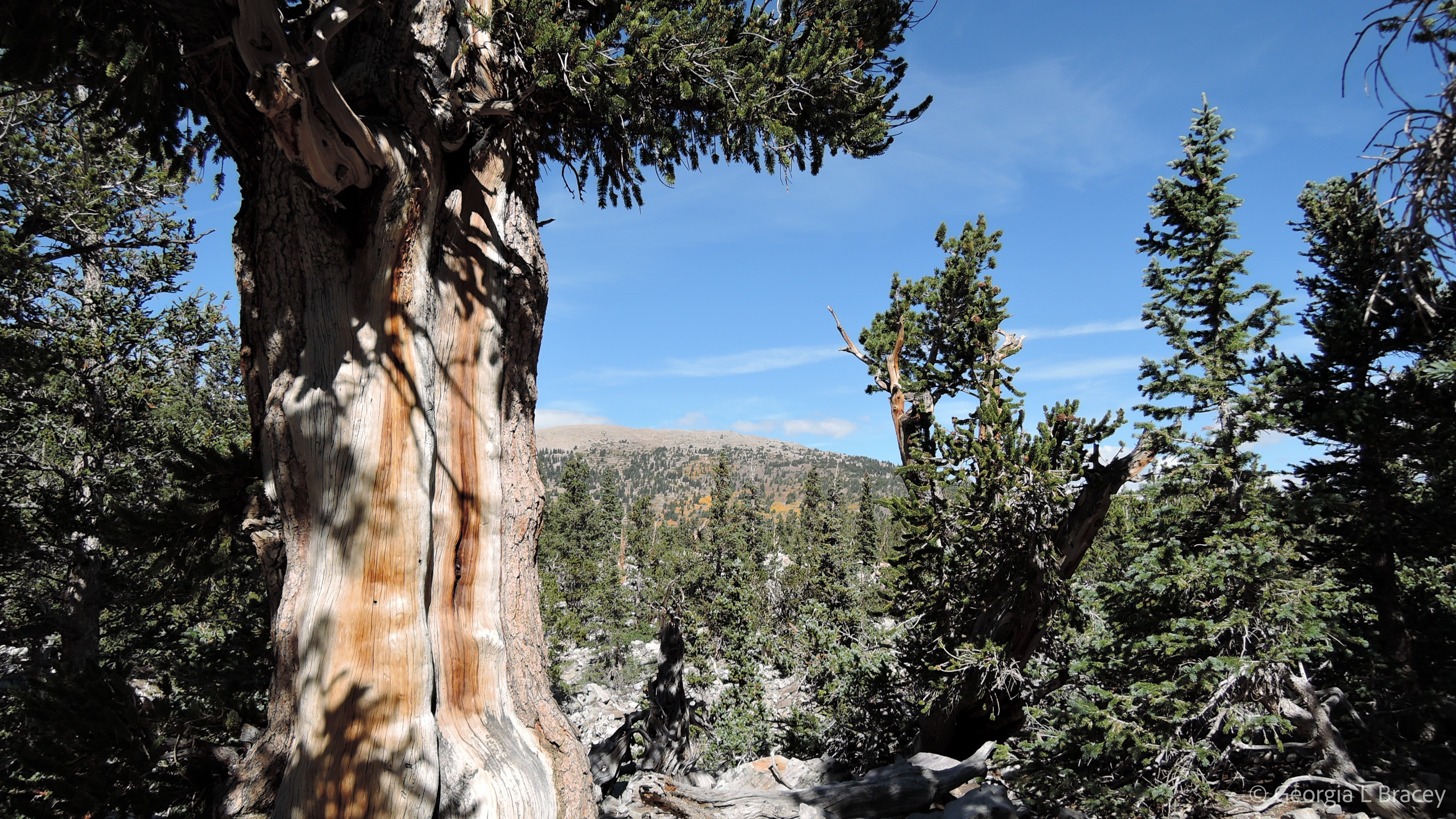
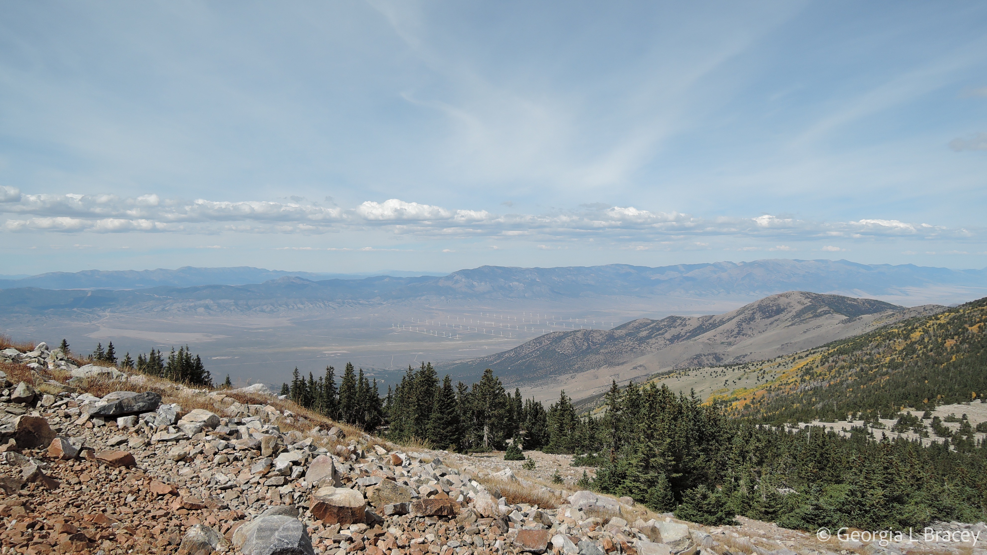
After spending some thoughtful moments in the grove, we continue up the trail towards the glacier. The trees thin out and eventually give way to rocks. The trail switches back and forth, going up and up, but unlike the summit trail, this one tends to wind upward through a valley. I don’t have quite the sense of imminently plunging off the side of the mountain, as high walls seem to offer some protection from the great beyond.
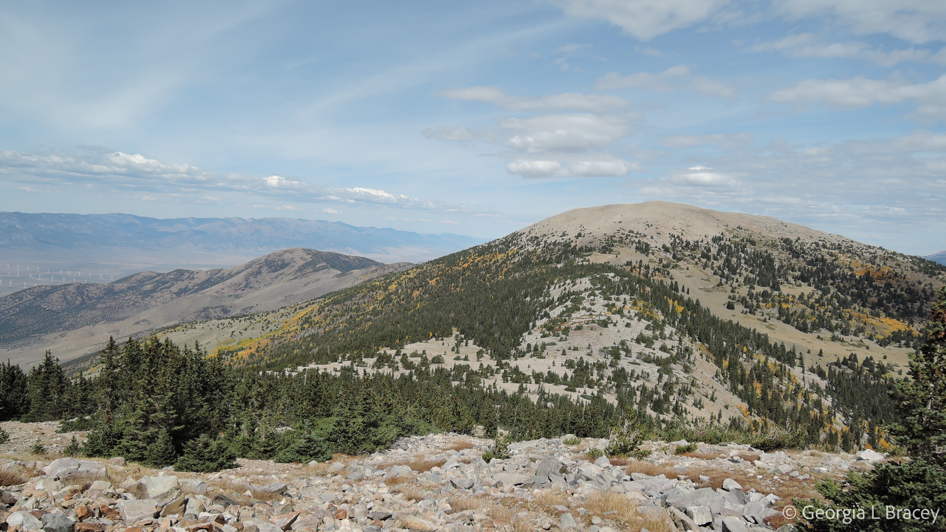
At last, we see the glacier.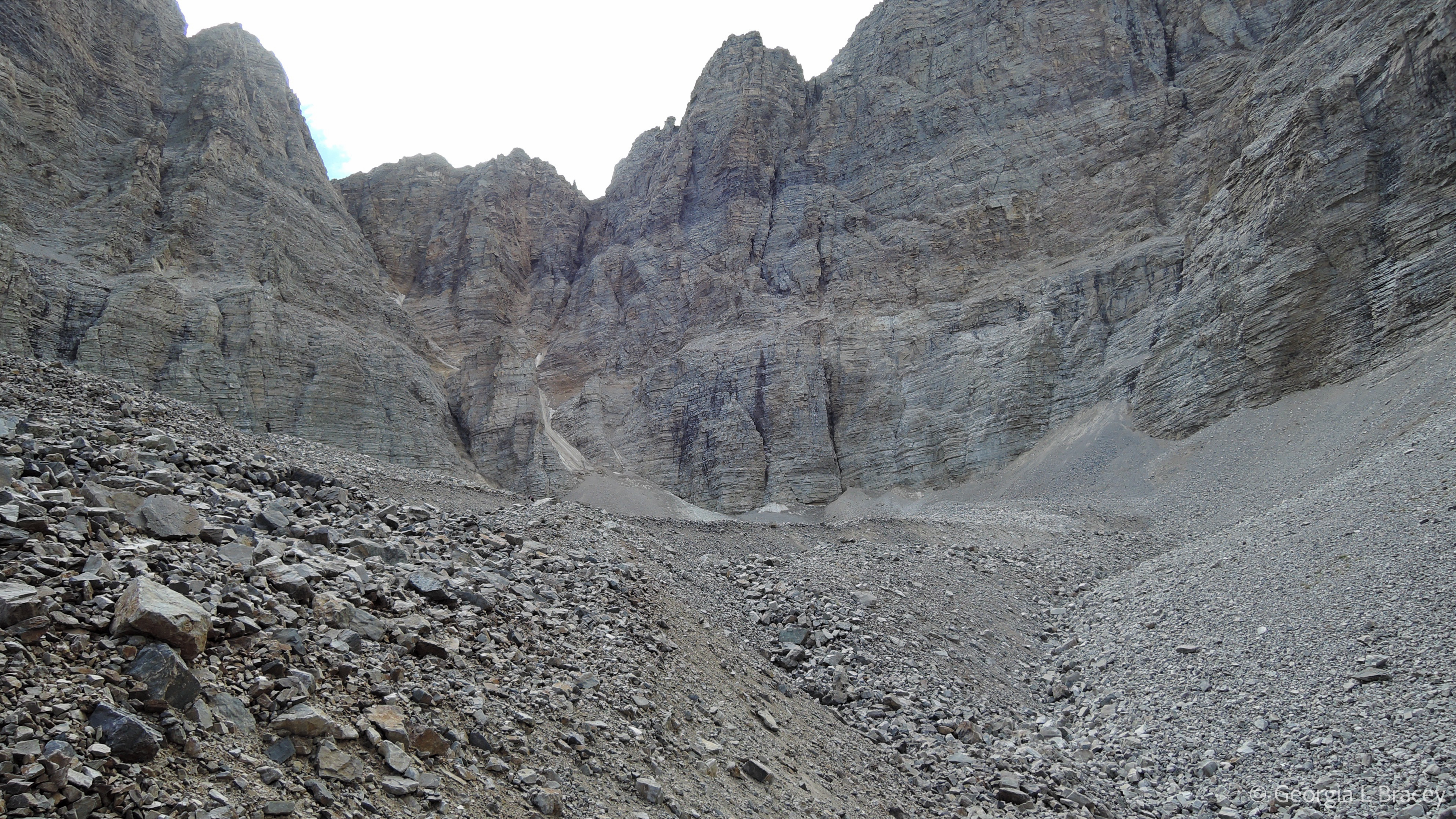
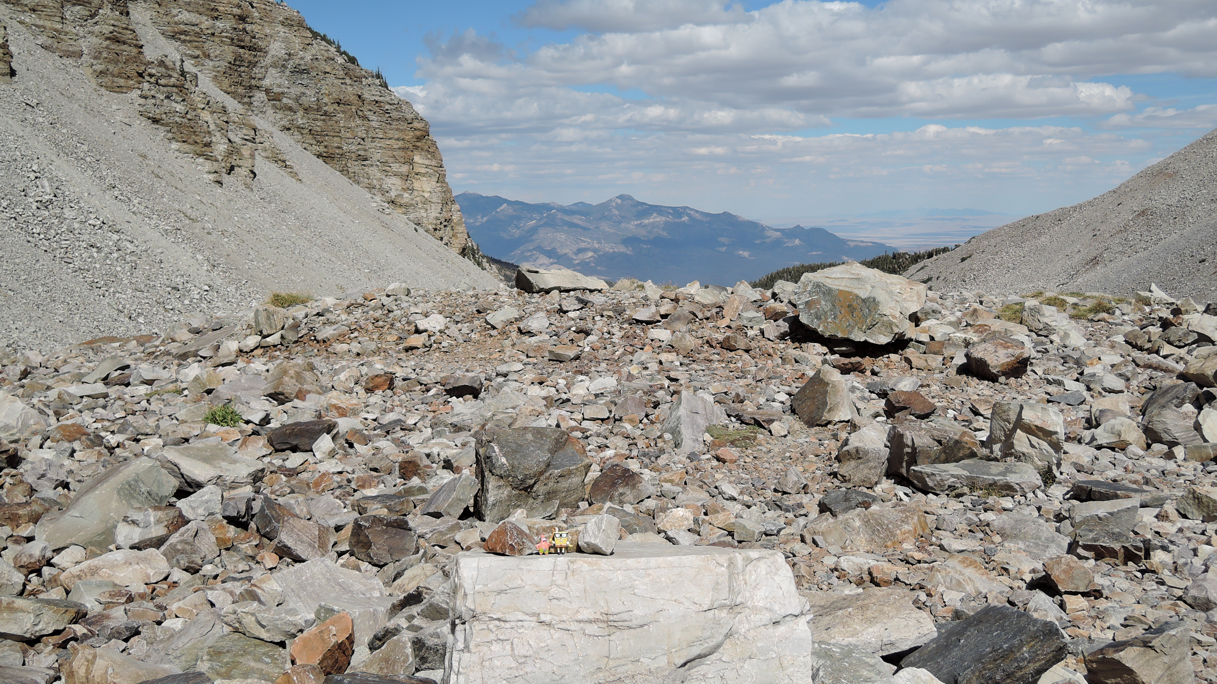
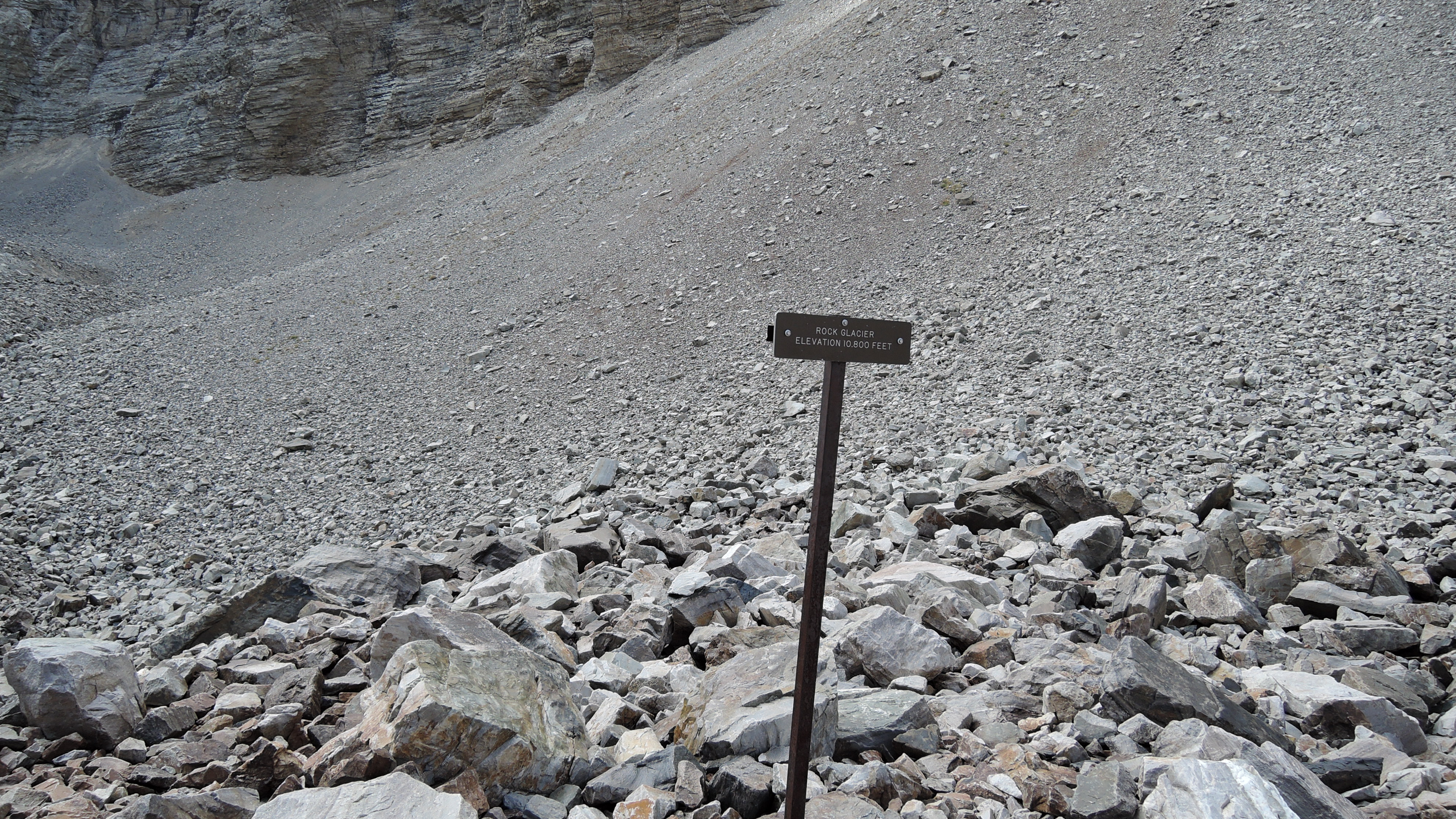
Two streams of ice come down the mountain in a “V” shape (barely visible in the left half of the picture above) and join together at the base of the cliff. This glacier is a bit dustier than I expected, but then it spends most of its time in the midst of blowing dirt and dust so I can’t complain. Between us and the ice lie more rocks! However, these rocks are actually part of the rock glacier (rock and ice together) and part of the glacier’s moraine (the debris pushed out ahead of the ice).
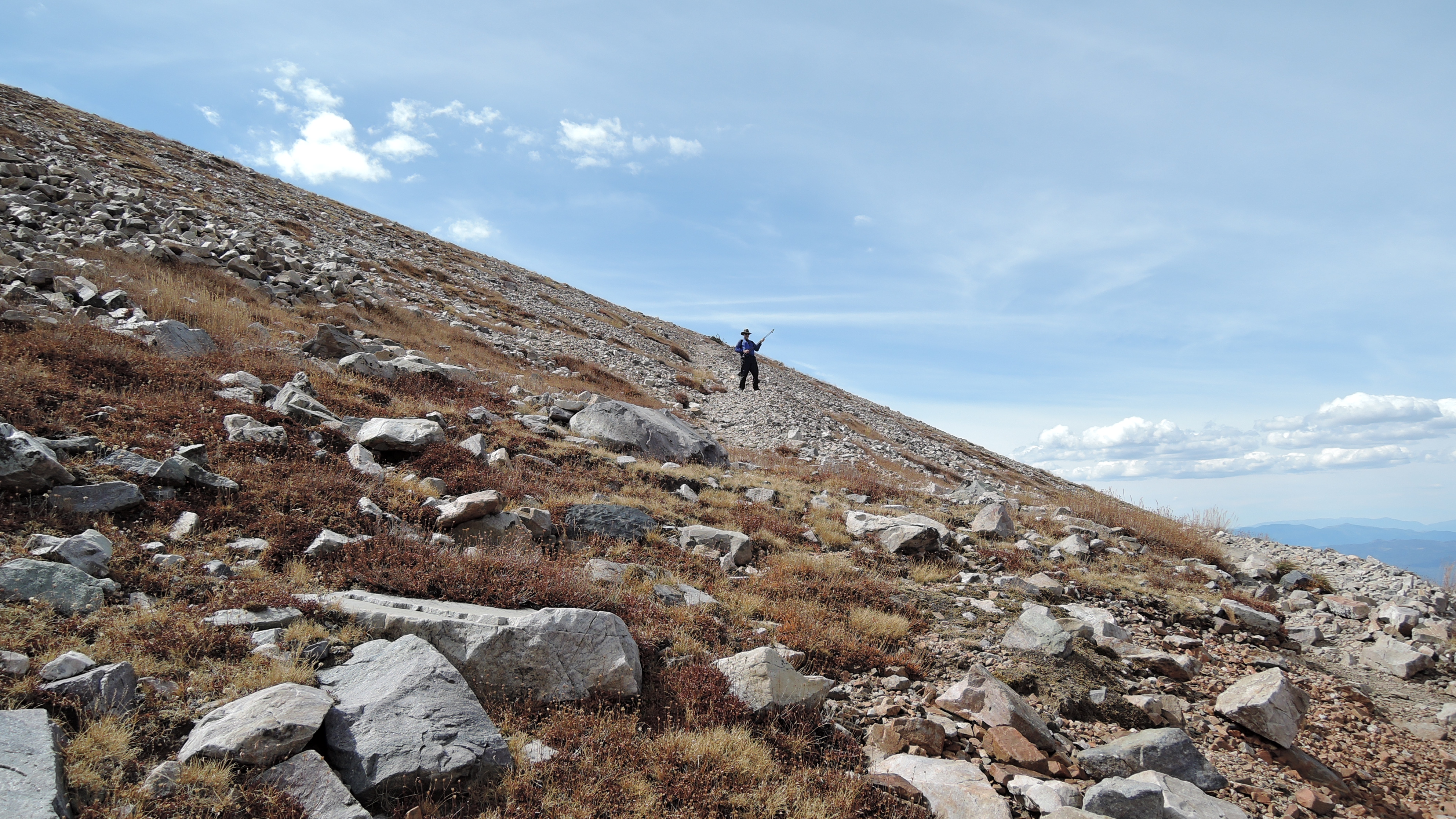
Joe and I decide to keep going. The trail rises more steeply and the footing is a bit slippery due to loose gravel and dirt. We make it across the moraine and up to the rock glacier at 10,800 feet. Beyond this, the trail disappears. If you want to cross the rock glacier, you need to make your own path up and over the rocks. At this point, I’m feeling pretty good about making it this far and decide to wait while Joe ventures ahead. I pull up a nice flat rock and settle in to watch his progress.
In a matter of minutes, he becomes a small dark blob, lost among the rocks. Every now and then he turns and waves his hiking poles at me. I think to myself, “If he twists his ankle, what would I do?” I quickly tell myself to STOP thinking that. 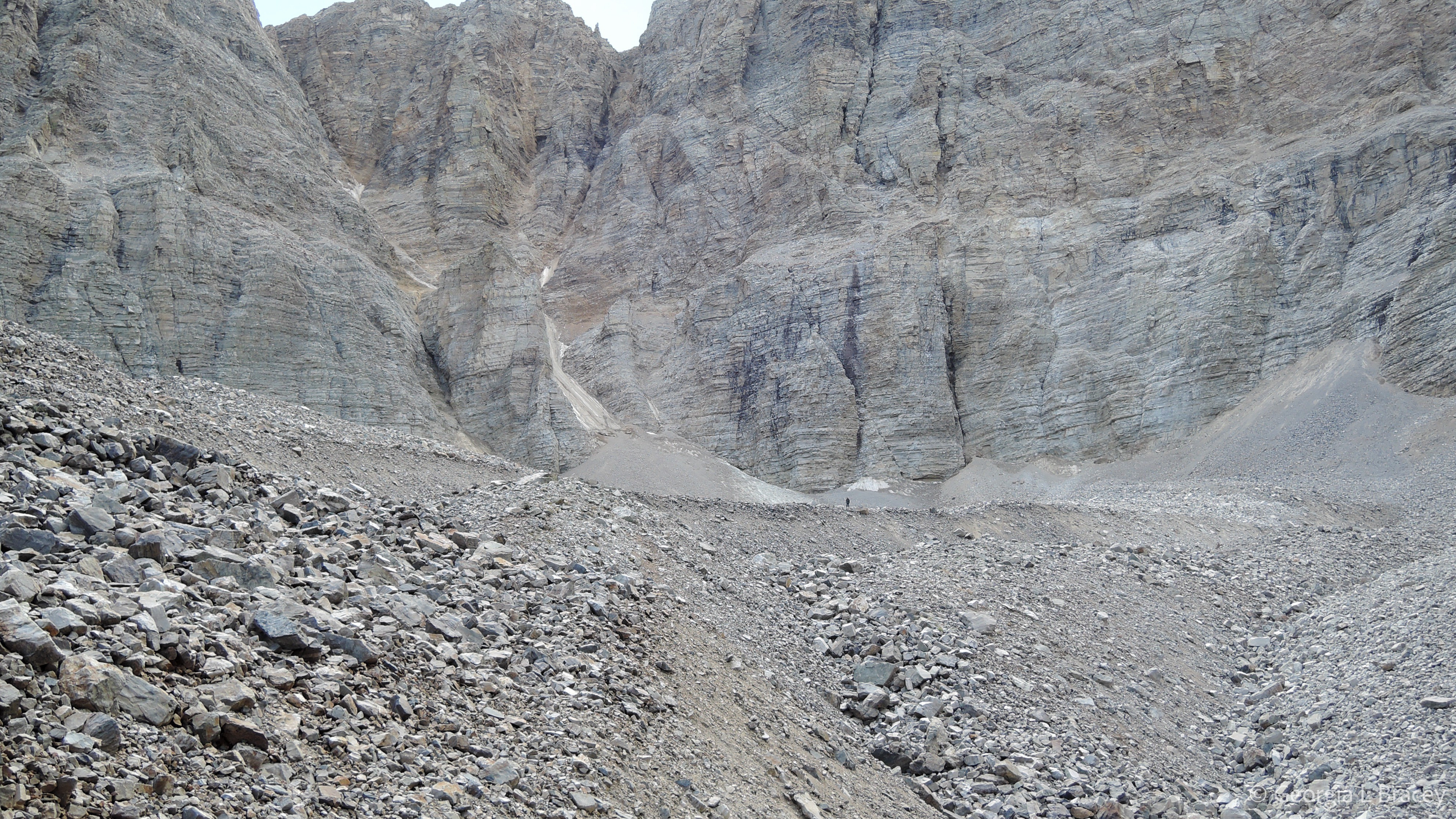
Can you see Joe in the picture above? He’s the dark ant-like figure just to the right of the central pile of dusty ice. After a time, the ant begins to get larger, and I know Joe is on his way back. While I wait, I set up my travel pals for their own picture at the rock glacier 🙂